Autumn by the river: walking along the Seine and Thames
Two urban rivers, several banks: a short stretch in Paris or London offers a walk shaped by the route and the day’s access conditions.
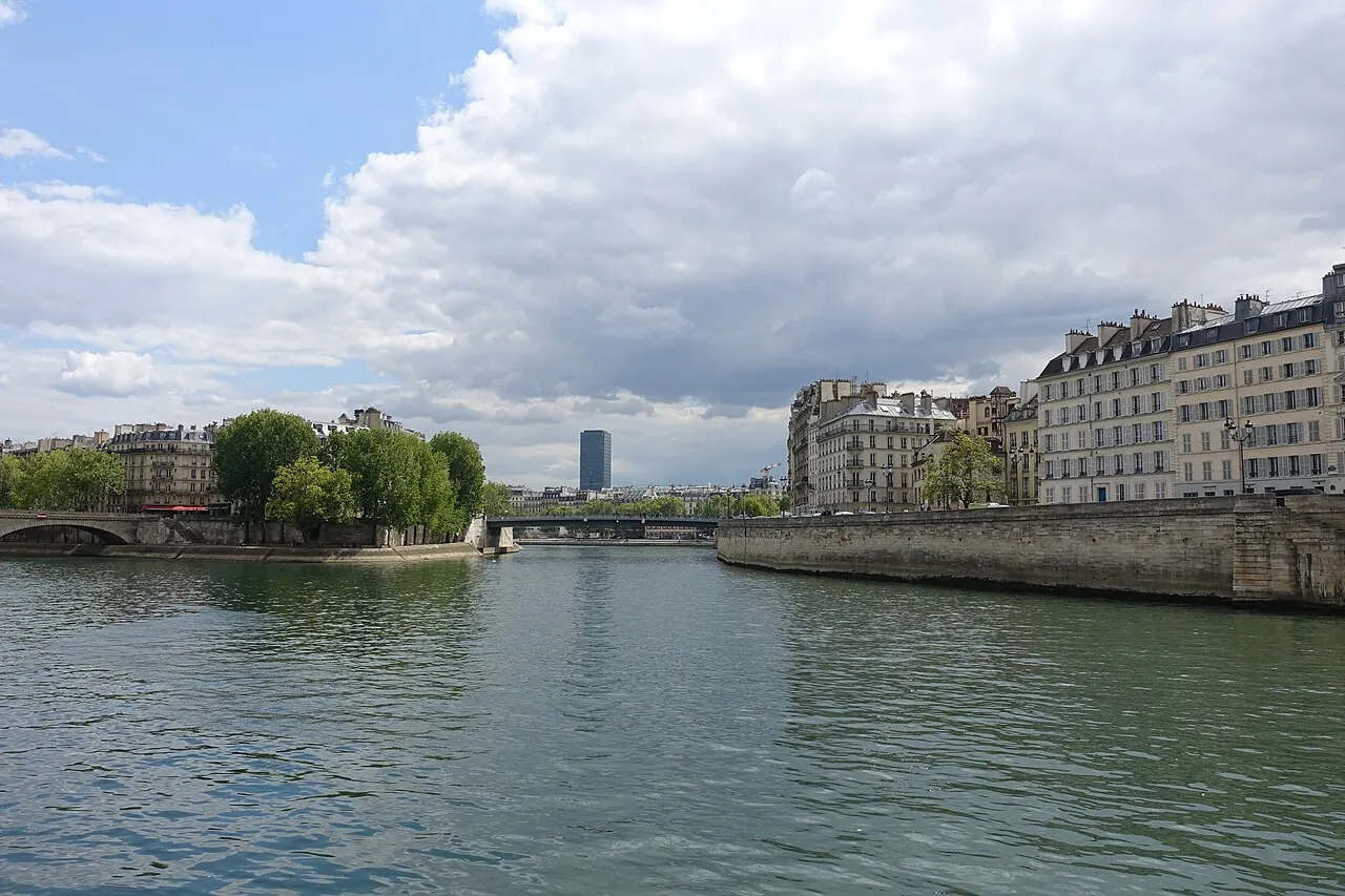
A walk beside a river shows a city at a different scale. Bridges connect neighbourhoods, quays open up the view, and even a short stretch can offer a break between a museum, station and next appointment. Paris and London each have a recognisable route beside the water. The Parc Rives de Seine lies by the Seine; Transport for London describes several parts of the Thames Path beside the Thames. Both routes comprise separate stretches with their own access points and different courses. A central section can therefore fit an afternoon with limited daylight.
In Paris, the right bank offers a clear starting point. The city describes the Parc Rives de Seine as pedestrian space with 4.5 kilometres of quays on the right bank and 2.5 kilometres on the left. These are separate parts of the park, not a required seven-kilometre walk. The Paris tourist office also describes a longer route from Gare d’Austerlitz past Quai Saint-Bernard and Jardin Tino Rossi. It then crosses Pont de la Tournelle to Île Saint-Louis and Pont Marie to the right bank. This also creates a shorter central Seine walk for someone who does not follow the full itinerary.
According to the city, the right-bank pedestrian area runs between Quai des Tuileries and Port de l’Arsenal. The Paris tourist route uses Quai des Célestins among its links to this part of the river. Bridges offer a different view of the city along the way and possible points at which to shorten a walk. Municipal information gives the designated access points and current notices about the area. This matters when works, events or high water affect part of the quay. The water is the constant line here, while access may differ from day to day.

London calls for a different scale. Thames Path is also the name of a long National Trail. National Trails gives the full route from the Cotswolds to Woolwich as 185.2 miles, about 298 kilometres. For a city walk, Transport for London’s breakdown is more useful: its Walk London Thames Path has sections on both the north and south banks. In central London, TfL section 2 runs on both sides from Albert Bridge to Tower Bridge. Section 3 continues from Tower Bridge to Greenwich. The national distance therefore says little about an afternoon beside a London quay.
Part of section 2 leaves room for a walk of a chosen length. The two bank routes begin around Albert Bridge; a bridge or public transport stop farther along can make a natural endpoint. Near Tower Bridge, the TfL map also shows the continuation of section 3 towards Greenwich. Each bank has its own course, so crossing changes the route. TfL’s separate maps show which stretches belong together. A short visit therefore need not include every landmark between Albert Bridge and Greenwich in one circuit.
In autumn, daylight and weather determine how much of a riverside route is comfortable. A wet quay can be slippery, and wind beside the water can make a long walk less appealing. Information from the City of Paris and TfL includes routes and any notices about access or diversions; National Trails describes the full Thames Path separately. For a short visit, one bank often works better than a tightly timed round trip. Suitable walking shoes and an appropriate endpoint make the choice practical. Both rivers thus offer room to see the city without a long-distance walk.
Sources and image credits
- https://www.paris.fr/pages/les-rives-de-seine-s-offrent-a-vous-21328
- https://parisjetaime.com/article/paris-seine-a921
- https://tfl.gov.uk/modes/walking/thames-path
- https://www.nationaltrail.co.uk/en_GB/trails/thames-path/?destination=node%2F832
Image credits 1
Photo: Guilhem Vellut / Flickr · CC BY 2.0 · Image source

Image credits 2
Photo: Robert Lamb / Geograph · CC BY-SA 2.0 · Image source

Euro Magazine · 26 October 2026
Facts and sources
A walk beside a river shows a city at a different scale. Bridges connect neighbourhoods, quays open up the view, and even a short stretch ca…
In Paris, the right bank offers a clear starting point. The city describes the Parc Rives de Seine as pedestrian space with 4.5 kilometres o…
According to the city, the right-bank pedestrian area runs between Quai des Tuileries and Port de l’Arsenal. The Paris tourist route uses Qu…
London calls for a different scale. Thames Path is also the name of a long National Trail. National Trails gives the full route from the Cot…
Part of section 2 leaves room for a walk of a chosen length. The two bank routes begin around Albert Bridge; a bridge or public transport st…
In autumn, daylight and weather determine how much of a riverside route is comfortable. A wet quay can be slippery, and wind beside the wate…