Autumn in the Eifel and the Ardennes: two parks, two kinds of hiking day
In the German Eifel, the Wilder Kermeter is an accessible starting point. On the Semois you can choose a short river walk near Bouillon. Park rules and route information differ.
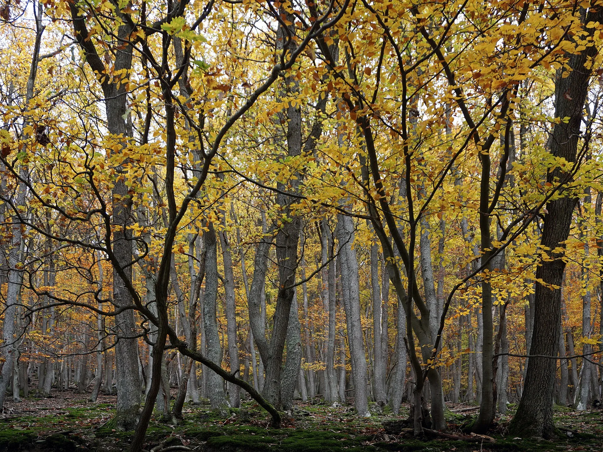
October turns the Eifel and the Ardennes into not a single nature area with one route map. The German Eifel National Park has its own hiking paths, ranger programmes and strict rules for the protected forest. In the Belgian Ardennes lies, among others, the Vallée de la Semois National Park, with routes along a river and through villages and forests. Anyone planning an autumn weekend does well to choose a concrete walk for each area. The images with this story were taken in 2019 and 2008; they do not predict the leaf colour or the weather of October 2026.
For a first Eifel day, the Wilder Kermeter is easy to grasp. The park administration describes a network of 6.2 kilometres of accessible paths through mixed beech forest, with viewpoints over the lakes. Within it lies the Wilde Weg, a nature trail of about 1.5 kilometres with ten largely interactive stops on forest development and species richness. The network is not the same as a single walk of 6.2 kilometres. The nature trail is an option in its own right; the map shows how it can be combined with a longer loop. Benches stand there about every 250 metres, the park states.
Would you rather have explanations from someone who knows the area? The national park service organises free ranger walks almost every day of the year, for which individual visitors do not need to register. Lengths and difficulty levels differ. That offering is therefore an alternative to walking independently, not a fixed starting time for 14 October. The events calendar lists which tour departs that day and from which point. Different arrangements apply for larger groups. For the independent walk, the Wilder Kermeter bus stop is a possible access; the current timetable determines the outward and return journey.
The park rules are part of the hiking plan here. Stay on marked paths, keep a dog on a lead and do not count on staying overnight or camping in the park. The manager warns that in storms, snow or thunderstorms, branches and trees can fall on the paths, and advises not entering the forest then or leaving it quickly. On the Dreiborner Hochfläche, leaving the route is moreover dangerous because of possible leftover munitions. That is not an invitation to draw a shorter line on the map yourself. Current park notices are with the manager; stay on the indicated route.
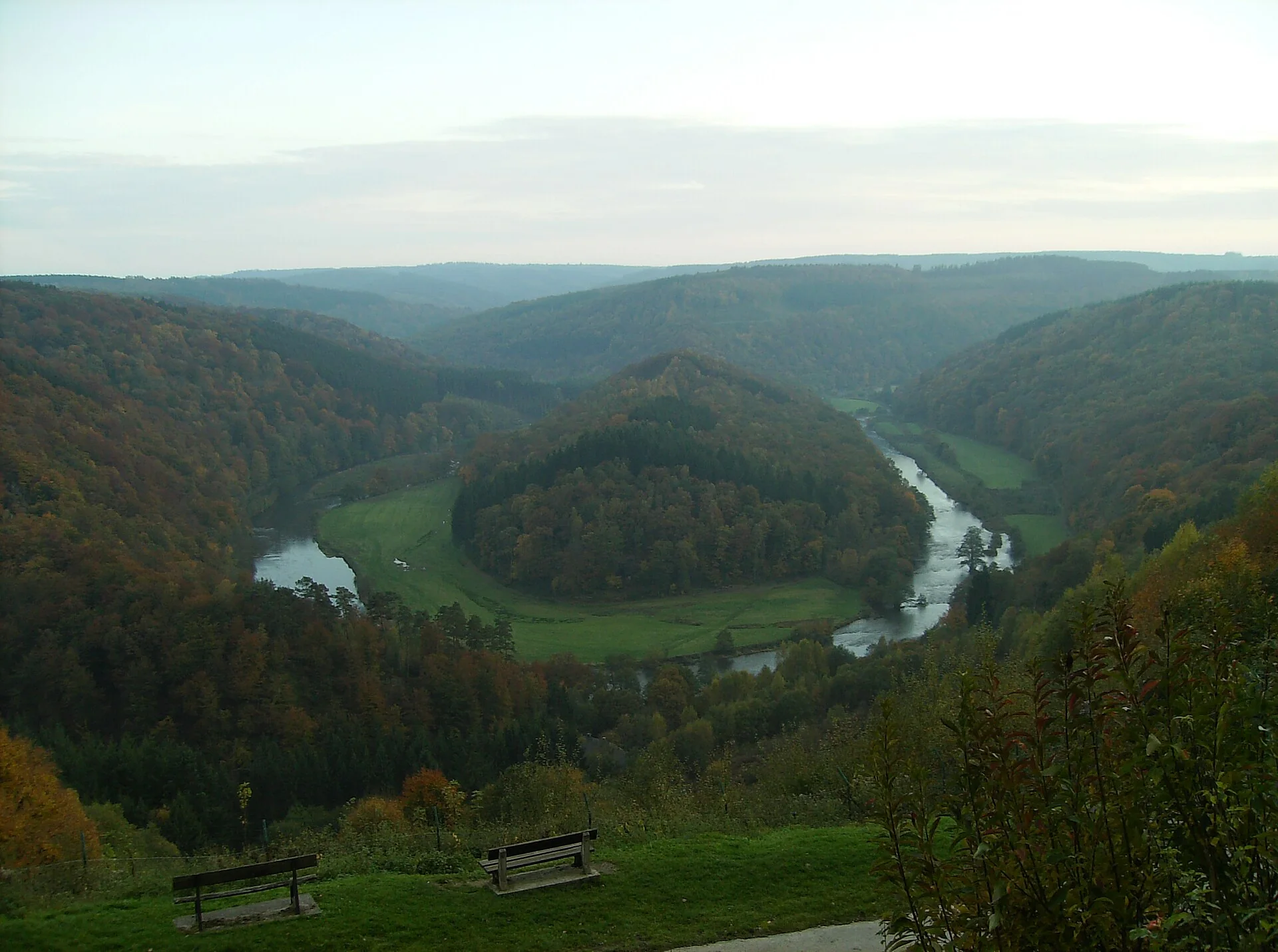
On the Semois, a very different scale is possible. The Vallée de la Semois National Park covers 28,903 hectares spread over eight municipalities, including Bouillon, Florenville and Vresse-sur-Semois, as the park organisation states. A visitor does not have to treat that large area as a single tour. The hiking portal Destination Semois describes, for example, near Bouillon the Sentier Ladmirant: 2 kilometres there and back along the river from the tunnel on the Corbion side. The same page lists the Sente aux Géais, a route of 3.5 kilometres with unpaved sections and asphalt from the Maison du Tourisme. The route map and any local changes are worth looking at before setting off.
Anyone looking for another Walloon park can also consider the Entre-Sambre-et-Meuse National Park. Its own visitor page lists the Couvin and Mariembourg NMBS stations as arrival points. That is useful information for a journey without a car, but not yet a complete hiking guide: the official route page states that uniform waymarking for hundreds of kilometres of paths will be introduced in 2026 and recommends contacting a local tourist office as long as that marking is not available everywhere. So choose a specific route first and only then look for the connection to the starting point, instead of treating a station name as the start of a walk.
Practical frame: for a short, accessible forest walk, the Wilde Weg in the Eifel is an option; the park manager publishes transport, calendar and weather warnings. For a river day on the Semois, choose a route near Bouillon by length and surface. In October, do not count on a predetermined autumn colour or dry paths. The Semois park gives June to October as the period for its visitor offering, but that wording does not say which activity or access gate is open on a given day. Current local information differs per route; turn back when closures or weather call for it.
Sources and image credits
- Nationalpark Eifel, official park page
- Nationalpark Eifel, Wilder Kermeter and Wilde Weg
- Nationalpark Eifel, ranger walks
- Vallée de la Semois National Park, area information
- Destination Semois, forest walks near Bouillon
- Entre-Sambre-et-Meuse National Park, accessibility
Image credits 1
Photo: 刘木易 / Wikimedia Commons · CC BY-SA 4.0 · Beeldbron

Image credits 2
Photo: Gp2mv3 / Wikimedia Commons · CC BY-SA 3.0 · Beeldbron

Euro Magazine · 14 October 2026
Wikimedia Commons, autumn forest in Eifel National Park (2019)
Wikimedia Commons, Semois at the Tombeau du Géant (2008)
1:
2:
3:
4:
5:
6:
7: