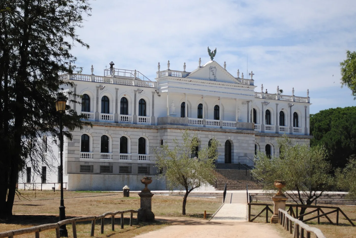
Donana: the stopover between two continents
Where the Guadalquivir reaches the Atlantic lies a wetland of great importance for migratory birds. Its protection was given impetus by a land purchase in 1963; the national park followed in 1969.
Doñana lies in the south-west of Spain, in Las Marismas: the delta where the Guadalquivir flows into the Atlantic Ocean. It is an area of marshes, shallow streams and dunes.
The name comes from Doña Ana de Silva y Mendoza, wife of the seventh Duke of Medina Sidonia. This was hunting ground of the nobility before it became anything else, and that partly explains why it was not drained earlier.
Why so many birds come here
Birds migrating between Europe and Africa have to cross the Mediterranean or the Atlantic. That is a stretch where there is no resting, and so what comes before it is decisive.
Doñana lies exactly at that point: the last great wetland before the crossing, and the first after it. Thousands of European and African migratory birds pass through.
That makes it different from a reserve where a species lives all year. The value of this area lies in throughput. What happens here has consequences for bird populations breeding or wintering thousands of kilometres away.
What else lives there
Besides the birds there are fallow deer, Spanish red deer, wild boar, badgers and Egyptian mongooses.
And there are two species that give the area its particular standing because they are endangered: the Spanish imperial eagle and the Iberian lynx. The latter is one of the rarest cats in the world and has its last strongholds in landscape of this kind.
How it came to be protected
An important step came in 1963: WWF helped, together with the Spanish government, to purchase land in Donana. The national park was established in 1969. Purchase and park status are thus two different moments.
That is a different route from the usual one. Normally an area is protected by regulation: a designation follows, and what is allowed there is restricted. Here land was bought first, and the rest came afterwards.
The reserve then grew in layers. The national park dates from 1969; in 1989 a natural park was added, expanded in 1997, creating a buffer zone.
Why that buffer zone is the point
That buffer zone is more than an administrative shell, and that has to do with water.
A marsh cannot be protected by drawing a line around it, because the water comes from outside that line. What happens in the surroundings with groundwater, agriculture and abstraction determines whether the area inside the line stays wet.
That is why a park like this can only exist if something is arranged about the land around it. A reserve with a dry surrounding is a reserve on paper.
Anyone walking through it now sees dunes moving slowly inland, shallow pools changing shape with the season, and a landscape that looks completely different in August from February. That is not fickleness but the normal condition of a delta, and precisely what makes it so hard to hold on to.