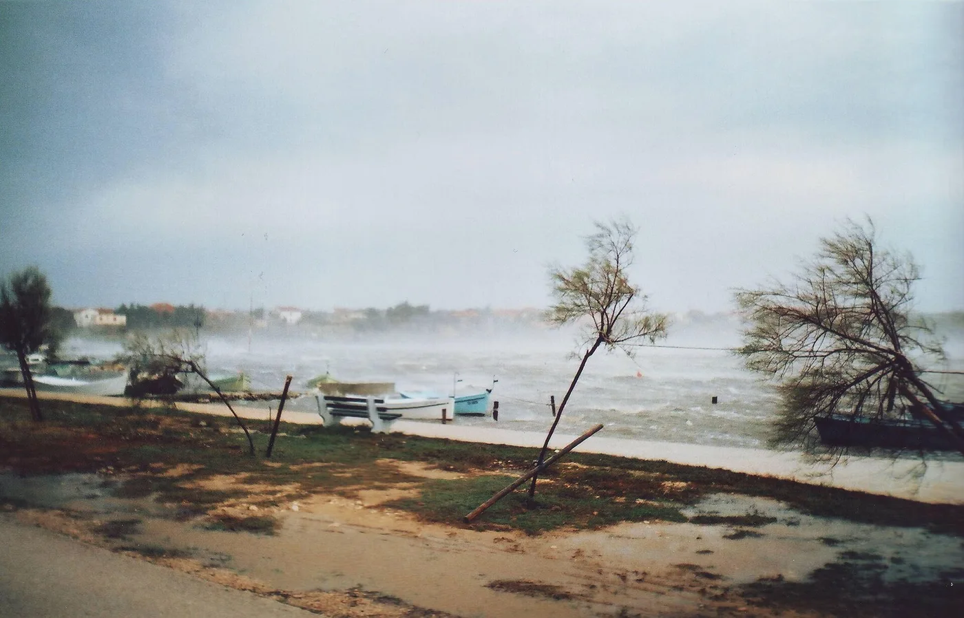
The bora: the wind that closes bridges
A gust of 248 kilometres an hour was measured on the Maslenica Bridge. The bora starts on a clear, calm day and a quarter of an hour later it cannot be ignored.
There are wind shields along the coastal motorway between Zadar and Karlobag. Not as an experiment, but because they proved necessary. On 21 December 1998 a gust of sixty-nine metres per second was measured on the Maslenica Bridge north of Zadar. That is forty-eight kilometres an hour above two hundred.
Over the Christmas days of 2003 a reading of three hundred and four kilometres an hour was recorded on the A1 near the Sveti Rok tunnel. That measurement is not treated as an official record, but it says something about the order of magnitude involved.
What a bora is
The bora is a northerly to north-easterly downslope wind along the Adriatic. Downslope, or katabatic, means the air is not pushed along but falls: cold, heavy air dropping from high ground to the coast.
It blows in gusts, not in a steady stream. That is precisely why it is dangerous for traffic: between two gusts it can be almost still. It comes mostly in winter, it strikes the coastal strip, and over open sea it weakens.
Why exactly there
Behind the Croatian coast stands a wall. The Velebit range runs for a hundred and forty-five kilometres along the sea and forms a divide between two worlds: the snow-covered interior plateau on one side, the Mediterranean coast on the other.
The bora blows hardest when a polar high sits over that cold, snow-covered hinterland while a calm low lies further south. Cold air is then stacked up behind a ridge with sea on the other side. That air looks for a way down.
The places where it blows hardest are the places where the wall has a gap: at Senj, at Stara Novalja, at Karlobag, and at the southern portal of the Sveti Rok tunnel. There the wind can reach two hundred and twenty kilometres an hour.
Why it stays cold
Here it becomes interesting for anyone who knows the foehn. A foehn also descends from a mountain range, but arrives warm: it gave up its moisture on the other side and collects the released heat on the way down.
The bora does not. The air that pours down started so cold that the warming from descent does not make up for it. What arrives is still winter air, now with force behind it.
That puts the bora in the same family as the mistral, which blows out of southern France into the Gulf of Lion and also stays cold. Three winds that travel from high to low, and only one of them turns warm.
Light and dark
Italians and Croatians distinguish two kinds, and this is not folklore but a usable difference.
The bora chiara, the clear bora, blows under a high-pressure sky: hard blue, freezing, with visibility into the distance. The bora scura, or skura bura, the dark bora, comes with cloud gathering on the hilltops and moving towards the sea, bringing rain or snow.
The same wind, the same direction, a completely different face. Anyone living on that coast therefore looks at the ridge before looking at the sea.
Visible on the water
The bora can be seen before it reaches you. From an aircraft above the Kvarner bay the sea shows long white stripes: foam drawn into bands across the water by the gusts, parallel to the wind. That pattern appears only with a bora.
A name older than the map
In Greek the north wind is boras. Linguists suspect the name goes back to an ancient root meaning mountain, the same one that produced Slavic gora and Sanskrit giri.
That would mean the wind is named not after its direction but after where it comes from: off the mountain. For anyone living in Senj that is not etymology but description.