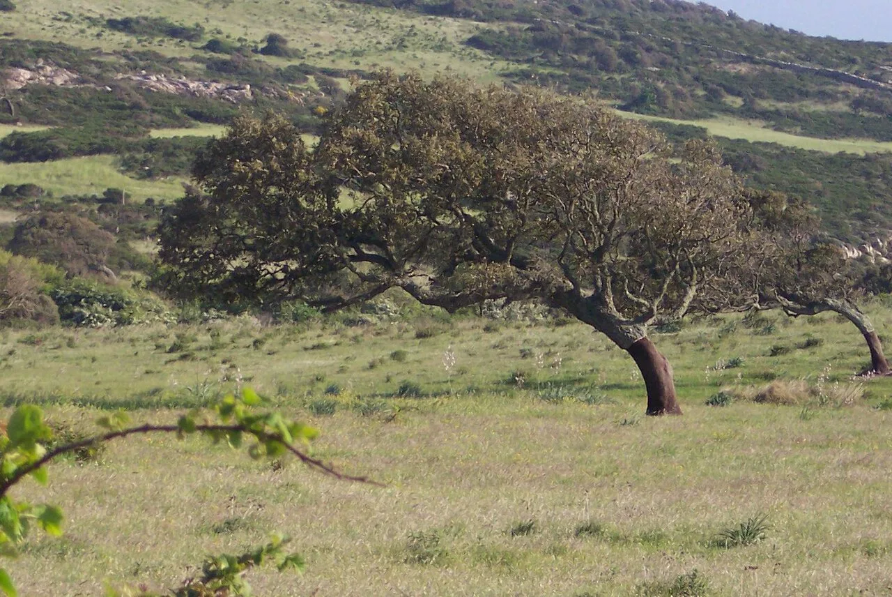
The mistral: why the sky over Provence is so clear
A cold north-westerly that can blow for days and sweeps the sky empty. The explanation you hear most often, a funnel in the Rhone valley, is only half right.
The mistral is a cold north-westerly wind blowing from southern France into the Gulf of Lion. According to Météo-France, it can average fifty kilometres an hour, with gusts of eighty to a hundred, sometimes more. And it persists: for days, sometimes longer than a week. A loose shutter gets little rest.
Two pressure systems pulling at the same air
The mistral forms when there is high pressure over the Bay of Biscay and low pressure around the Gulf of Genoa. Air starts moving between the two. Cold air from the north is drawn in and accelerates through the lower gaps between the foothills of the Alps and the Cevennes.
Conditions are even better when a cold rain front has just crossed France from north-west to south-east, all the way to the Mediterranean. Then the cold air is already in place.
The funnel does not explain where it blows hardest
Almost everywhere you read the same account: the Rhone valley is long and enclosed, the air is squeezed through a narrowing and therefore speeds up. The Venturi effect.
That account is not wrong, but it is incomplete, and one simple test shows it. If the funnel were the whole story, the wind should be strongest at the narrowest point of the valley, south of Valence. It is not. The mistral reaches its highest speeds much further south, where the valley has actually widened.
Something else does not fit either. The mistral is not a valley phenomenon. It blows up to roughly three kilometres in altitude, into the troposphere. On the summit of Mont Ventoux, nineteen hundred metres up, it is fierce while the plain below is very wide. A funnel at ground level does not account for that.
What does play a part: cold air is denser than warm air. Those masses pour down from the mountains and through the valleys to the lower ground. That is the gravity half of the story, and it works where there is no narrowing at all.
Why it stays cold while a foehn turns warm
That descent resembles a foehn, the wind that comes down the far side of the Alps. But there is a difference you feel in your face immediately.
Descending air warms as it is compressed. Yet the mistral feels cold because it brings cold air from the north. It cannot simply be equated with the warm, dry foehn on the lee side of the Alps. The origin of the air and its entire route matter.
The light, and the exception
The mistral is dry. It usually brings a cloudless sky and hard sunshine, and that is where its reputation comes from: the wind that scours the air clean. Anyone who has seen how sharply the Alpilles stand out on a mistral day understands why painters travelled for this light.
But there is also a mistral noir, a black mistral, which brings cloud and rain instead. It occurs when the Azores High extends and draws in unusually moist air from the north-west. Same wind direction, different weather. The mistral is no guarantee of blue.
What the name says
Mistral comes from the Languedoc dialect of Occitan and means masterly. The same wind is mestral in Catalan, maestrale in Italian and Corsican, majjistral in Maltese. A wind that carries the same name in four languages has been blowing long enough to have earned one.
Anyone sailing the Mediterranean meets it offshore as well: between Corsica and the Balearics the mistral regularly causes sudden storms. What is a bright day on land is a reason to stay in port at sea.